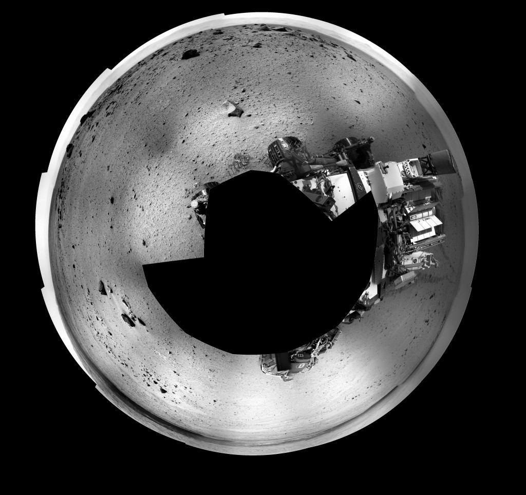
Here is a circular panorama made from the sol 347 Right Navcam raw image gallery. The ( relatively ) rapid progress during the last 10 sols or so have afforded some interesting views, but the most interesting thing is the overall progress itself. Even though it has been just a few hundred meters, there have been a number of new landmarks in the form of rock piles. On each sol we can see the track of Curiosity trailing off to the east in the direction of “Fort Apache”, as evidenced in this image near three o’clock. Mt. Sharp is all along the bottom edge, and “Mt. Fuji” is near one o’clock.
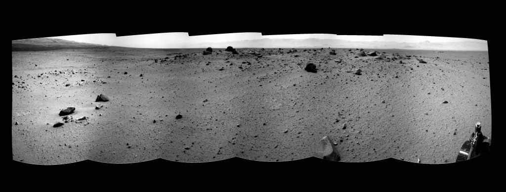
 Here is the upper left quadrant as a cylindrical panorama composed of 6 Navcam images. It gives a view of the “rock piles” which dot the area, and of which “Rocknest” was a much smaller example. There were several piles near Rocknest similar to it. My own blue sky theory is that these represent secondary impact events. … It’s gotta be something!

