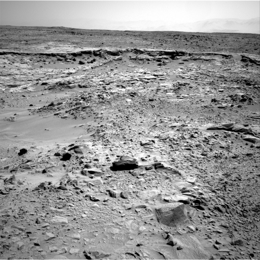
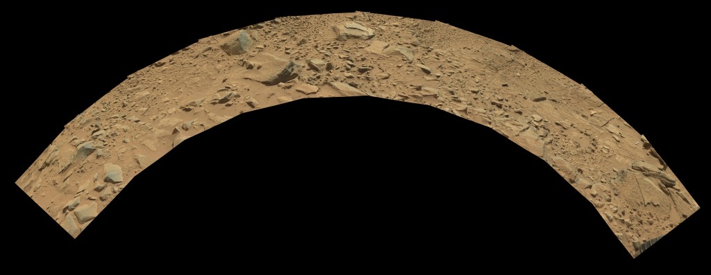
The Cooperstown structure seems similar to some of the ledges at Yellowknife Bay, but on a very limited scale. Curiosity took 10 Mastcam images comprising a circular panaorama around the base of the craft, and 5 Mastcam images comprising a short panoramic view of the Cooperstown structure.

The layered deposits in front of the ridge resemble Shaler, near Yellowknife Bay. The circular view of the base area contains a variety of rock types, including some at the right end of the arc ( near the wheel ) which have a similar texture to some rocks near Shaler, that I dubbed the “dead fish” in a previous post.
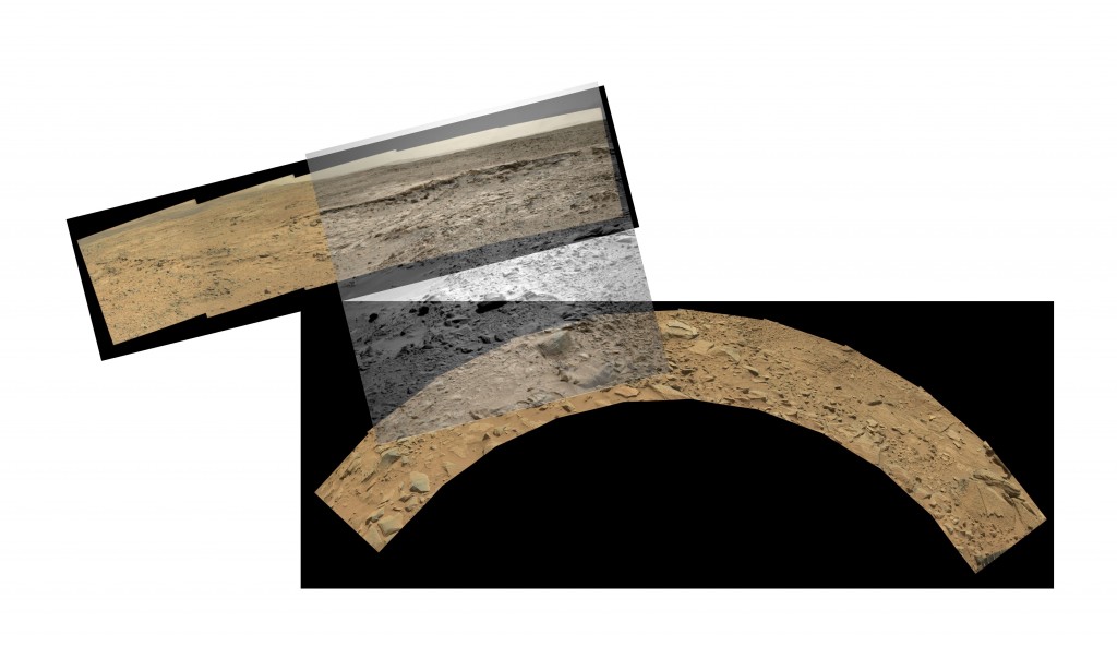
As these two composite images don’t overlap, their relationship isn’t evident at first examination. In fact, I was surprised that the 10 images formed a continuous arc after processing by PTGui, as I expected two tiers of 5 in a block.
However, there is a nice Navcam image that overlaps both of these:

… and I used Paint.net to form the following composite where the transparent Navcam view stitches the two panormas together. The overlap is surprisingly faithful, as this was done purely by hand using resizing and reorientation, but no stretching or skewing.


